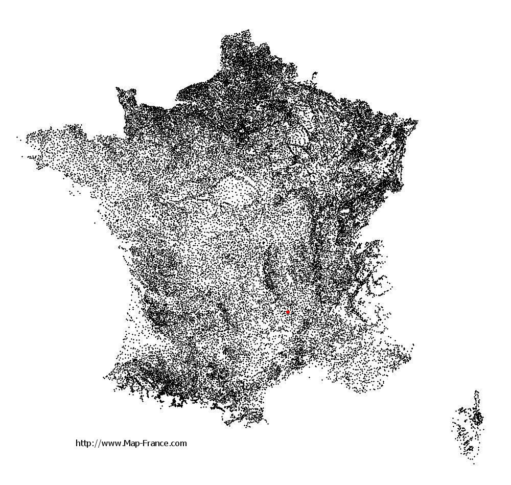
Le Bouchet-Saint-Nicolas on the relief France map in Lambert 93 coordinates
|

See the map of Le Bouchet-Saint-Nicolas in full screen (1000 x 949)
|
At left, here is the location of Le Bouchet-Saint-Nicolas on the relief France map in Lambert 93 coordinates.
Here are the altitudes of Le Bouchet-Saint-Nicolas :
- Town hall altitude of Le Bouchet-Saint-Nicolas is 1 220 meters
- Minimum altitude of Le Bouchet-Saint-Nicolas is 1 118 meters
- Maximum altitude of Le Bouchet-Saint-Nicolas is 1 301 meters
- Medium altitude of Le Bouchet-Saint-Nicolas is 1 210 meters
Here are the altitudes of Le Puy-en-Velay, prefecture of Haute-Loire department:
- Town hall altitude of Le Puy-en-Velay is 628 meters
- Minimum altitude of Le Puy-en-Velay is 600 meters
- Maximum altitude of Le Puy-en-Velay is 888 meters
- Medium altitude of Le Puy-en-Velay is 744 meters
Here are the altitudes of the french biggest cities:
Paris : 33 meters
Marseille : 20 meters
Lyon : 237 meters
Toulouse : 146 meters
Nice : 10 meters
Nantes : 20 meters
Strasbourg : 144 meters
Montpellier : 35 meters
Bordeaux : 16 meters
Lille : 20 meters
Rennes : 35 meters
Reims : 83 meters
Click here for the terrain map of Le Bouchet-Saint-Nicolas in full screen:
Relief map of Le Bouchet-Saint-Nicolas
|
This relief map of Le Bouchet-Saint-Nicolas is reusable and modifiable by making a link to this page of the Map-France.com website or by using the given code :
|
Terrain base map of Le Bouchet-Saint-Nicolas
|

See the terrain base map of Le Bouchet-Saint-Nicolas in full screen (1000 x 949)
|
Small relief base map of Le Bouchet-Saint-Nicolas

|
This base map of Le Bouchet-Saint-Nicolas is reusable and modifiable by making a link to this page of the Map-France.com website or by using the given code :
|
Map of Le Bouchet-Saint-Nicolas with regions and prefectures
|
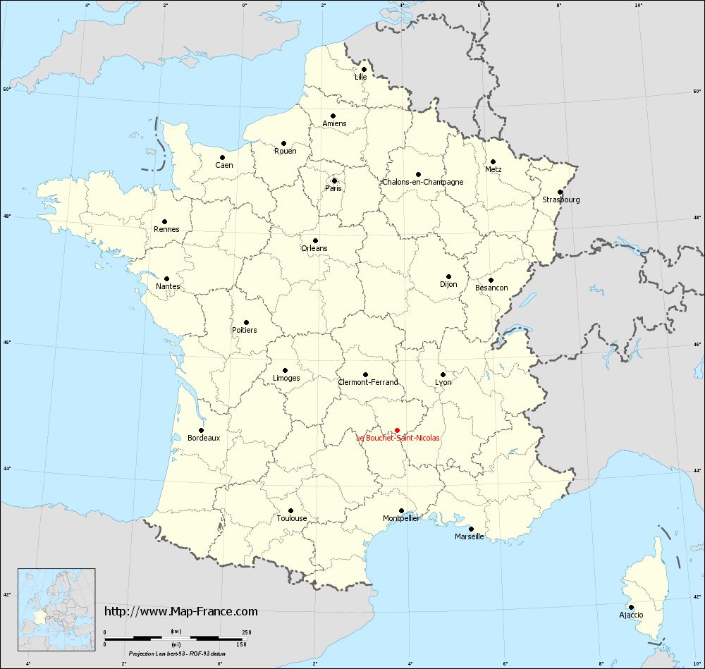
View the map of Le Bouchet-Saint-Nicolas in full screen (1000 x 949)
|
You will find the location of Le Bouchet-Saint-Nicolas on the map of France of regions in Lambert 93 coordinates. The town of Le Bouchet-Saint-Nicolas is located in the department of Haute-Loire of the french region Auvergne.
Geographical sexagesimal coordinates / GPS (WGS84):
Latitude: 44° 53' 25'' North
Longitude: 03° 47' 21'' East
Geographical decimal coordinates :
Latitude: 44.89 degrees (44.89° North)
Longitude: 3.789 degrees (3.789° East)
Lambert 93 coordinates :
X: 7 623 hectometers
Y: 64 216 hectometers
Lambert 2 coordinates :
X: 7 148 hectometers
Y: 19 888 hectometers
Below, the geographical coordinates of Le Puy-en-Velay, prefecture of the Haute-Loire department:
Geographical sexagesimal coordinates / GPS (WGS84):
Latitude: 45° 02' 36'' North
Longitude: 03° 53' 06'' East
Geographical decimal coordinates :
Latitude: 45.042 degrees (45.042° North)
Longitude: 3.888 degrees (3.888° East)
Lambert 93 coordinates :
X: 7 697 hectometers
Y: 64 386 hectometers
Lambert 2 coordinates :
X: 7 220 hectometers
Y: 20 059 hectometers
|
This map of Le Bouchet-Saint-Nicolas is reusable and modifiable by making a link to this page of the Map-France.com website or by using the given code :
|
Map of Le Bouchet-Saint-Nicolas with departments and prefectures
|
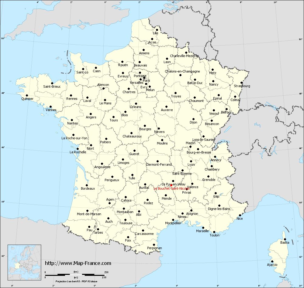
Voir la carte of Le Bouchet-Saint-Nicolas en grand format (1000 x 949)
|
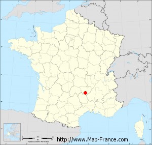
Here is the localization of Le Bouchet-Saint-Nicolas on the France map of departments in Lambert 93 coordinates. The city of Le Bouchet-Saint-Nicolas is shown on the map by a red point.
The town of Le Bouchet-Saint-Nicolas is located in the department of Haute-Loire of the french region Auvergne.
The latitude of Le Bouchet-Saint-Nicolas is 44.89 degrees North.
The longitude of Le Bouchet-Saint-Nicolas is 3.789 degrees East.
Here the distance between Le Bouchet-Saint-Nicolas and the biggest cities of France:
Distances are calculated as the crow flies (orthodromic distance)
Distance between Le Bouchet-Saint-Nicolas and Paris : 454.54 kilometers
Distance between Le Bouchet-Saint-Nicolas and Marseille : 218.7 kilometers
Distance between Le Bouchet-Saint-Nicolas and Lyon : 126.52 kilometers
Distance between Le Bouchet-Saint-Nicolas and Toulouse : 234.92 kilometers
Distance between Le Bouchet-Saint-Nicolas and Nice : 305.9 kilometers
Distance between Le Bouchet-Saint-Nicolas and Nantes : 486.31 kilometers
Distance between Le Bouchet-Saint-Nicolas and Strasbourg : 509.46 kilometers
Distance between Le Bouchet-Saint-Nicolas and Montpellier : 142.53 kilometers
Distance between Le Bouchet-Saint-Nicolas and Bordeaux : 343.64 kilometers
Distance between Le Bouchet-Saint-Nicolas and Lille : 639.92 kilometers
Distance between Le Bouchet-Saint-Nicolas and Rennes : 550 kilometers
Distance between Le Bouchet-Saint-Nicolas and Reims : 485.63 kilometers
Clic here to see the map of Le Bouchet-Saint-Nicolas in full screen:
Le Bouchet-Saint-Nicolas on the map of french departments
|
This administrative map of Le Bouchet-Saint-Nicolas is reusable and modifiable by making a link to this page of the Map-France.com website or by using the given code :
|
Administrative base maps of Le Bouchet-Saint-Nicolas
|
See the administrative base map of Le Bouchet-Saint-Nicolas in full screen (1000 x 949)
|
Small administrative base map of Le Bouchet-Saint-Nicolas
|
This base map administrative of Le Bouchet-Saint-Nicolas is reusable and modifiable by making a link to this page of the Map-France.com website or by using the given code :
|
 French Version : http://www.cartesfrance.fr